Sheet 01 of 09
Hiking in Maine
Granite summits, rooty forest paths and rocky coast: how to choose a hike that fits your legs and the season.
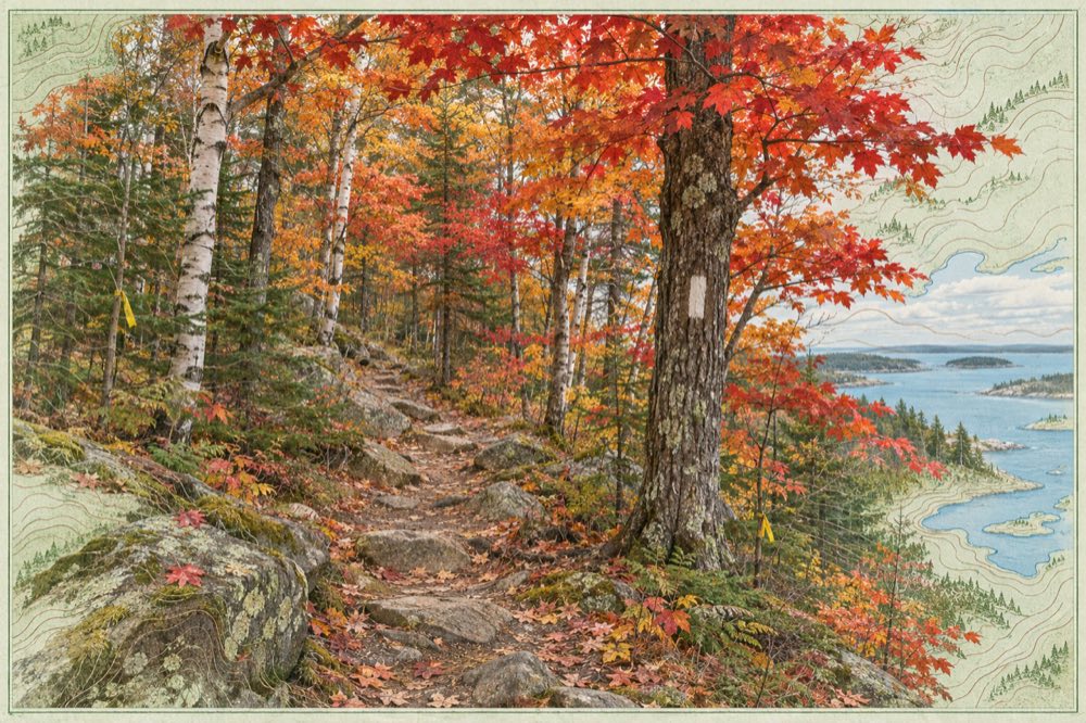
What makes hiking in Maine different?
Maine is heavily forested, lightly populated in the north and cut by lakes, rivers and a long, ragged coast. Trails are often rooty, rocky and wet, so a mile here usually takes longer than a mile on a groomed path elsewhere. Elevations are modest by western standards, but the weather turns fast and the terrain is steep, so even short hikes deserve proper boots and layers.
The Appalachian Trail enters the state from New Hampshire and ends on Katahdin. Its passage includes the remote section widely known as the 100-Mile Wilderness. Most visitors never go near it and still find plenty of well-marked paths close to roads and towns.
Best hiking in Maine for beginners
A good first hike is short, well marked and rewarded early. Coastal and hill walks near towns, such as the lower summits of Acadia, the hills above Camden or low peaks in the western lakes, give wide views for a few hours of effort. Choose a loop or out-and-back route you can shorten if the weather or your energy changes.
Read the trail description for distance, elevation gain and exposure before you go, and add time for photos, snacks and the descent. If a route says it has ladders or iron rungs, be honest about your comfort with heights.
Hiking in Maine mountains
The high country runs through the western mountains, the Bigelow range and the Katahdin region. Fourteen Maine peaks are usually counted as 4,000-footers, and many hikers use that list as a long-term goal. Above treeline, the ground is fragile alpine vegetation: stay on the marked path and rock.
Weather on a summit can differ sharply from the trailhead. Carry a warm layer, rain shell, headlamp, water and a paper map even for a sunny morning start.
Hikes in Maine with waterfalls
Water is everywhere in Maine, and waterfall walks are a gentle way to see the interior. Places often named in guidebooks include Step Falls near Newry, Screw Auger Falls in Grafton Notch State Park, Moxie Falls near The Forks and the gorge at Gulf Hagas, nicknamed the Grand Canyon of Maine. Rocks near falls are slick: keep to the path and keep children and dogs close.
Water levels are highest in spring and after heavy rain, which is also when streams are hardest to cross. Late summer is calmer but quieter in volume.
Reading a Maine hiking map
Public trail networks are mapped by land managers such as state parks, Baxter State Park, national park staff and local land trusts. Use an official or club map, check recent trail conditions and know your route before you lose signal. A phone map is a back-up, not a plan.
For the biggest single objective, read the Katahdin hiking guide. For risks such as ticks, moose and cold, see Maine hiking safety.