Sheet 07 of 09
Allagash Wilderness Waterway
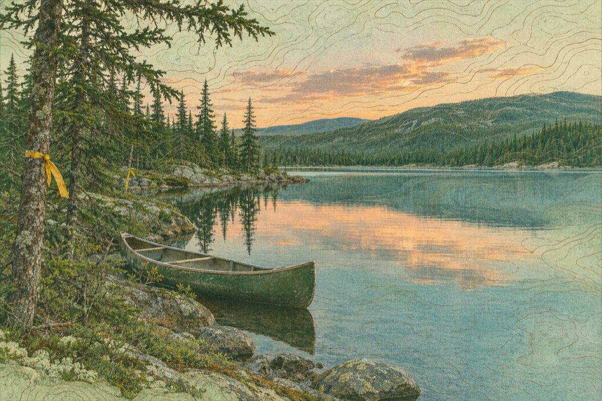
A protected chain of lakes, ponds and river in the Maine north woods, made for canoes.
- Length
- About 92 miles
- Status
- Wild and Scenic River since 1970
- Managed by
- Maine Department of Agriculture, Conservation and Forestry
- Best for
- Multi-day canoe and kayak trips
How long is the Allagash Wilderness Waterway?
The waterway is about 92 miles long, running through lakes, ponds, streams and the Allagash River in the north woods of Maine. It was designated in 1970 as part of the national Wild and Scenic Rivers System and is administered by the State of Maine. Its protected corridor is meant to feel remote and quiet.
The route usually ends where the river meets the Saint John River in northern Maine.
How long does it take to canoe the Allagash?
A typical full trip takes about a week or a little longer, depending on the start and end points, the wind on the big lakes and how many days you want for rest and fishing. Shorter sections are possible for people with less time.
Lakes can have strong headwinds, so build in spare days. The paddling is mostly flat water with some easy rapids, but it still requires map skills and teamwork.
Allagash Wilderness Waterway camping and rules
Camping is limited to designated sites, and visitors normally register at checkpoints and pay fees. Food storage, fire rules, group-size limits and the waste rules are enforced, so read the managing agency's current information before planning. Mobile coverage is absent over most of the route, and help is far away.
Bring detailed maps, a spare paddle, bug protection and a plan for emergencies.
Can you kayak the Allagash, and what else is there to see?
Yes. Kayaks and canoes are both common. Along the way, paddlers can find signs of the logging and railway past, including a pair of old locomotives left in the woods near Chamberlain Lake, plus moose, loons and long views of unbroken forest.
For a land-based trip nearby, read about Baxter State Park.